
Tapahuga
Good choice
Light wind, slightly choppy sea and mostly clear sky.
 7.7
Morning
8.0
Great choice
Afternoon
7.5
Good choice
Hourly cloud cover trend
Hourly wind trend
windgustsTide
-0.58 m relative to the predicted mean sea level.
This is a broad-scale marine estimate for comparing times, not a precise shoreline water level.
Live reports
Seaweed, jellyfish or crowded beach? Let the community know.
Next days
About the beach
San Sebastián de La Gomera · La Gomera
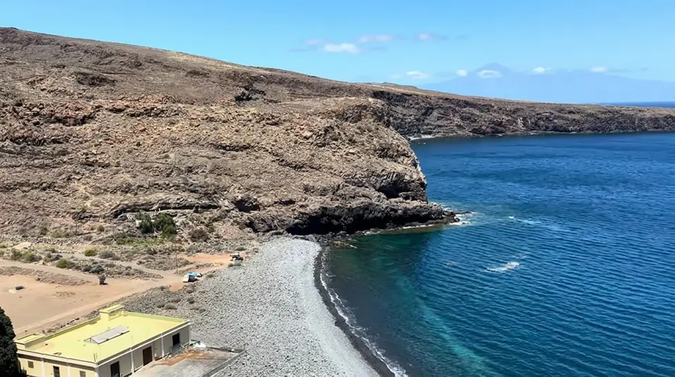
Tapahuga is a sand-and-pebble bay east of Playa de Santiago, set in an arid landscape defined by rugged terrain and traces of agriculture. It marks the transition from the town to a less developed stretch of coastline. It is a perfect stop for those seeking space and a simple, unadorned setting—provided you don't expect fine sand everywhere. Bring whatever you need and consider bringing something comfortable to sit on, given the rocky nature of the shore.
Beach features
- Sand: rocks — Rocky access to the sea: best for confident swimmers.
- Exposure: Southeast — spectacular sunrises over the sea
Beach characteristics, including child suitability, accessibility and services, are indicative and may change. Always verify locally.
Want to list your business? Get in touch
Updating community conditions…
Direction and intensity
Tap to see nearby parking, beach clubs and bars.
 Offshore waves · WSW0.5 m · 10 sWind · W12 km/h · gusts 20 km/hSatellite imagery © Esri
Did you notice something wrong about this beach?
Verified on 9 Sept 2026 · Sources: Catálogo General de Playas y Zonas de Baño de Canarias, Gobierno de Canarias / GESPLAN